Back to BMW Motorcycles of Riverside
BMW Motorcycles of Riverside
  • Home
  • Routes
      • S. Main Divide – Tenaja – Fallbrook
      • Santa Ana Mountains
      • Rawson Rd – Cooper Cienega – MotoDoffo
      • Anza – Julian – Black Canyon
      • Cleghorn
      • Thomas Mountain
      • High Sierra
      • Monument Peak – Silverwood Lake
      • Campo Taco Run
      • Big Bear – Skyline Loop
      • Idyllwild Loop – Santa Rosa Mtn Rd
      • Bradshaw Trail
      • Clark’s Grade
      • Burns Canyon Road
      • Joshua Tree
      • Borrego Springs – Julian
      • South Main Divide
      • MMM – Carrizo Plain
      • Death Valley
  • Download Tracks
  • Meetups
  • Menu Menu

CLEGHORN

Home1 / Routes2 / CLEGHORN


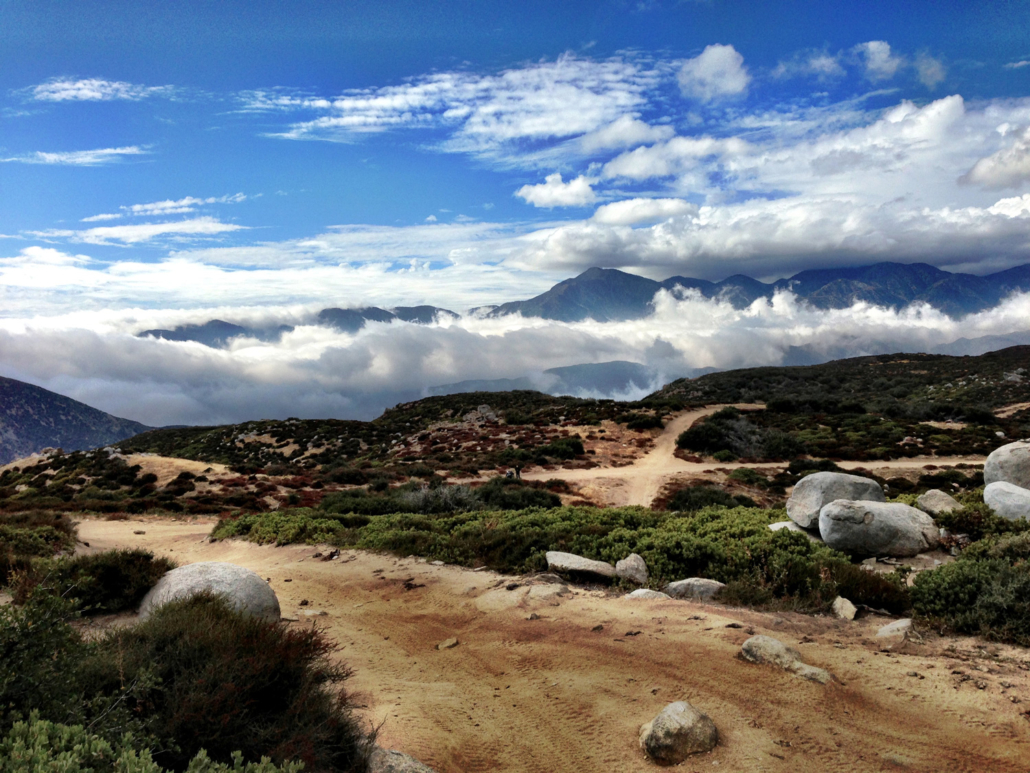
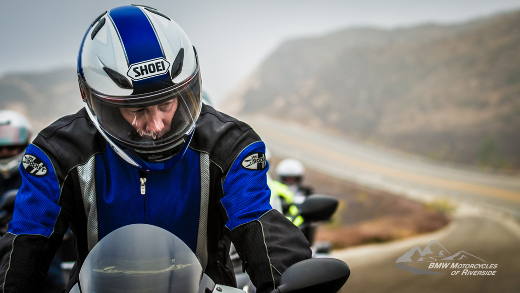
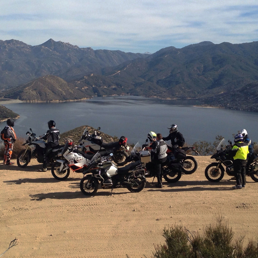
This is a fun local ride that can be done in 5-6 hours with a good pace. Most of the time it is an intermediate level ride, but it can be quite difficult with wet conditions and the route can be impassable due to snow in the winter. Epic views looking down on Silverwood Lake.

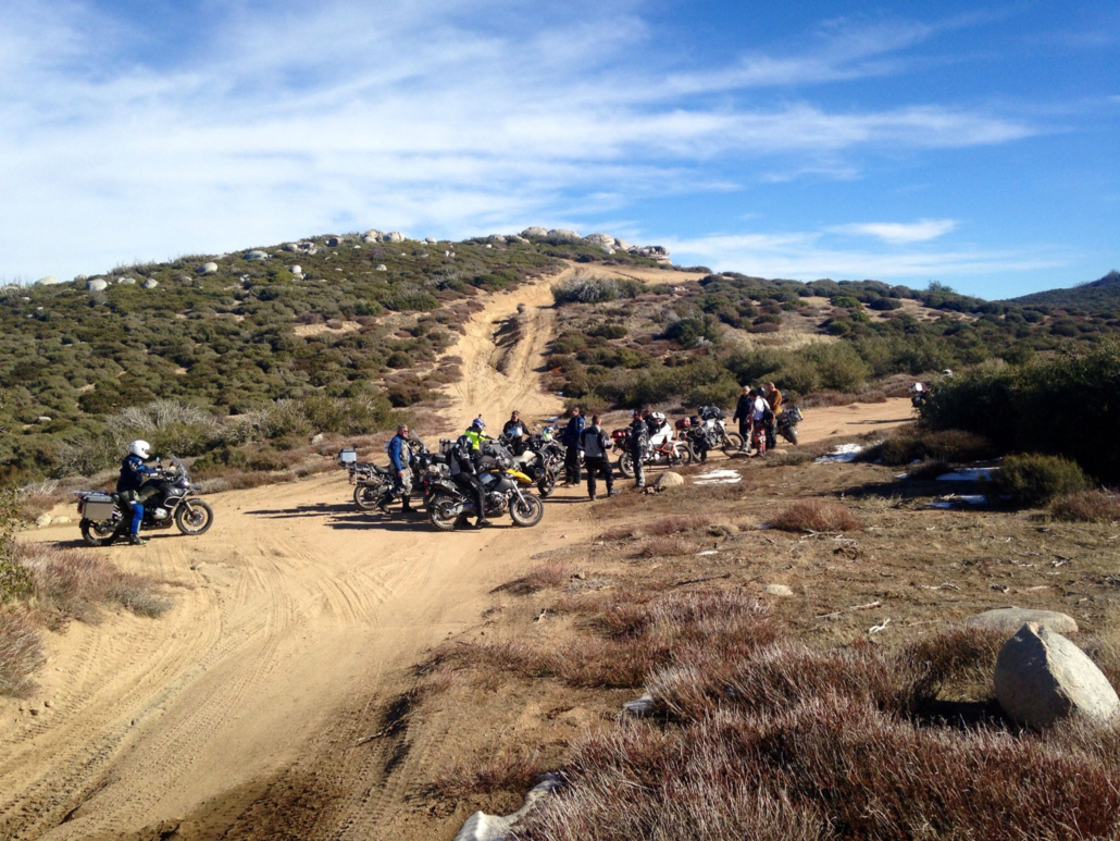
There are many inviting off-shoots on this route. BE VERY CAREFUL!! The parts of the trails you can see look inviting, but most devolve into very difficult and sometimes impassable routes for a large Adventure bike. Exploring these routes almost always ends badly. Take a skinny dirt bike if you wish to do that.

Many choices for routes home, but my favorite is to take 138 to Highway 18 and drop out of the high elevation through a fast set of twisties. A great alternate dirt route home can be had by linking in Monument Pass (Palm Cnyn Road). Going down Palm Cnyn toward the Cajon Pass (I-15) is a much easier direction to ride than climbing up and through all the “steps.”

Route Stats

Length (miles)88
Duration (hours)6.0
Technical Difficulty / Terrain (1-10)6
Elevation Change (feet)7374
Scenic / Historic (1-10)6
Two-Up FriendlyRisky
DOWNLOAD GPX TRACK


©2023. BMW Motorcycles of Riverside. All Rights Reserved.

Directions Privacy Terms Contact Us

Facebook Icon Instagram IconMeetup Icon

Important Note About The Routes:

We have made our best efforts to supply informative routes. PLEASE USE YOUR DISCRETION and JUDGEMENT. Conditions change rapidly and can vary significantly for each ride due to weather, fire, daylight/time of year, road construction, and many other variables. There is no substitute for your personal judgement. Only you know your capabilities, physical condition on the day of the ride, and the preparation, condition, and capability of your motorcycle.

For these reasons, BMW MoR always “pre-rides” a given route for our shop rides even if we have done that ride many times before. The very definition of Adventure riding involves managing your body (physical and emotional) and your motorcycles mechanical condition while enjoying the adventure. Be prepared and make good decisions on whether to turn around or skip sections of rides as conditions warrant.

Use these tracks and routes as a planning tool to add or subtract or modify to your suit your time, abilities, and environmental conditions.

Thomas MountainS. Main Divide – Tenaja – Fallbrook
Scroll to top